
Rain Returns Sunday After Drying Break
A window of dry weather today precedes widespread precipitation over the weekend and a potentially heavier system arriving midweek.
By Giulia Donovan ·
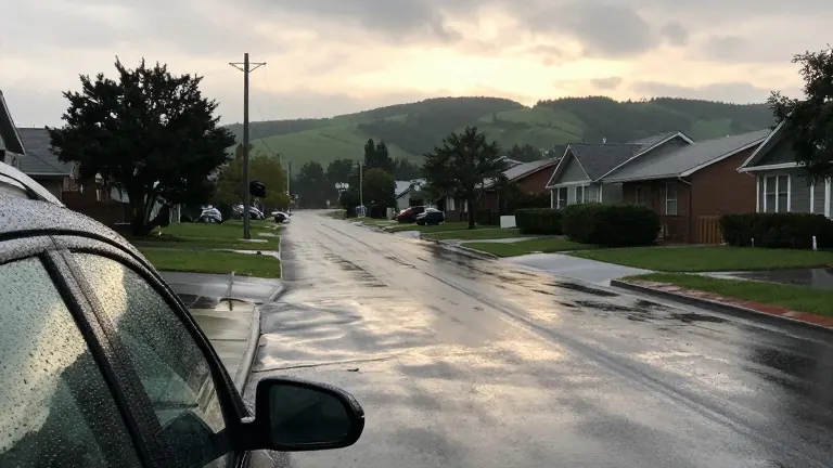
The region faces a cycle of intermittent wet weather and brief dry spells through the middle of next week. Forecasts indicate a shift from light rainfall today to widespread precipitation by Sunday, with a potentially stronger system arriving later.
Today, rainfall is expected to remain under a quarter of an inch. This light accumulation allows damp pavement to dry out, minimizing travel impacts for errands and school pickups. Conditions will hold through the night before another round of showers arrives late tomorrow afternoon.
The rain returning tomorrow will be weaker and less widespread than previous rounds. However, specific communities may experience persistent showers, resulting in slightly higher totals than today. The weather will dry out again by early Saturday morning, offering a comfortable window for outdoor activities. Temperatures in the interior will climb into the 60s.
The primary shift in the forecast occurs Saturday afternoon as widespread rain spreads across the region. This precipitation will continue through Sunday. The steadiest rain will impact the Coast Range and the western slopes of the Cascades. The Willamette Valley and the Portland metro area face a lower probability of receiving those higher totals.
Snow levels are expected to rise well above the mountain passes. This means the Cascades will receive rain rather than snow, leaving mountain pavement wet for travelers. A brief dry break is forecast for early next week before the next system arrives around midweek.
That midweek system could bring heavier rainfall over a longer duration. It also carries the potential for stronger south winds along the coast. Meteorians have not yet pinpointed exact rainfall amounts or peak wind speeds. They are refining these details over the coming days.