Phoenix Forecast: Breezy Lake Warning Precedes Dry Weekend
A cut-off low system brings light rain risk to the Valley Friday night before high-pressure ridges settle in for lower 80s temperatures.
By Giulia Donovan ·
Meteorologists expect a brief window of light precipitation across the Phoenix Valley on Friday night as a cut-off low system to the east pulls moisture into central Arizona. While the system primarily targets northern and eastern regions, a small amount of rain is possible for the metro area before conditions dry out completely for the upcoming weekend.
Precipitation in the affected eastern zones has already begun to accumulate. St. Johns and Window Rock reported rainfall totals close to two tenths of an inch. The moisture intrusion is expected to produce only stray showers in the capital, keeping the weekend forecast largely sunny. This brief disturbance marks the final wet signal before a sustained period of dry weather settles over the state.
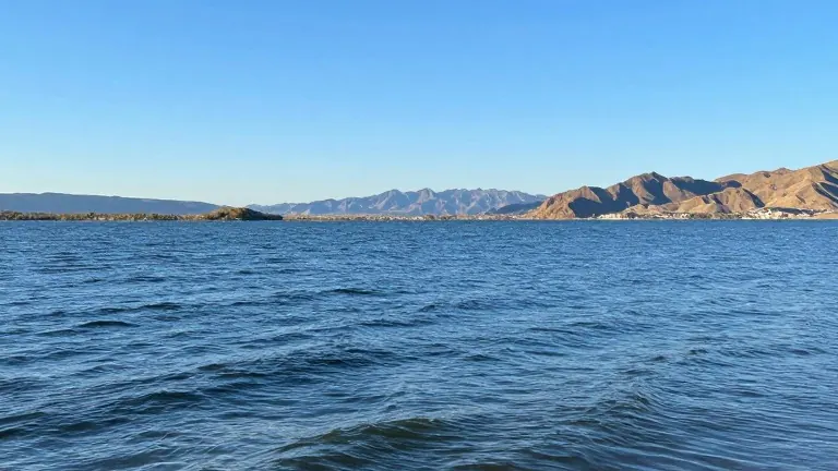
Wind conditions will shift focus to the western part of the state on Saturday. A lake wind advisory is in effect for Lake Mohave and Lake Havasu due to gusts expected between 35 and 40 mph. These strong winds will generate wave heights ranging from one to three feet, creating potentially hazardous conditions for boaters and watercraft in the area.
Following the breezy start to the weekend, Phoenix temperatures will stabilize. Highs are projected to reach the lower 80s, while overnight lows will dip to the low 60s and upper 50s. The atmosphere will remain dry through the start of next week, with sunny skies dominating the forecast for much of the period.
Forecasters note that the dry trend may shift by the end of the coming week. While no specific system is currently locked in for that timeframe, models indicate a possibility of a weather pattern change. Residents should monitor updates as the week progresses to confirm if the dry spell will hold or if new moisture will return.